Trail running and topography: the mountain ranges that make runners' hearts race
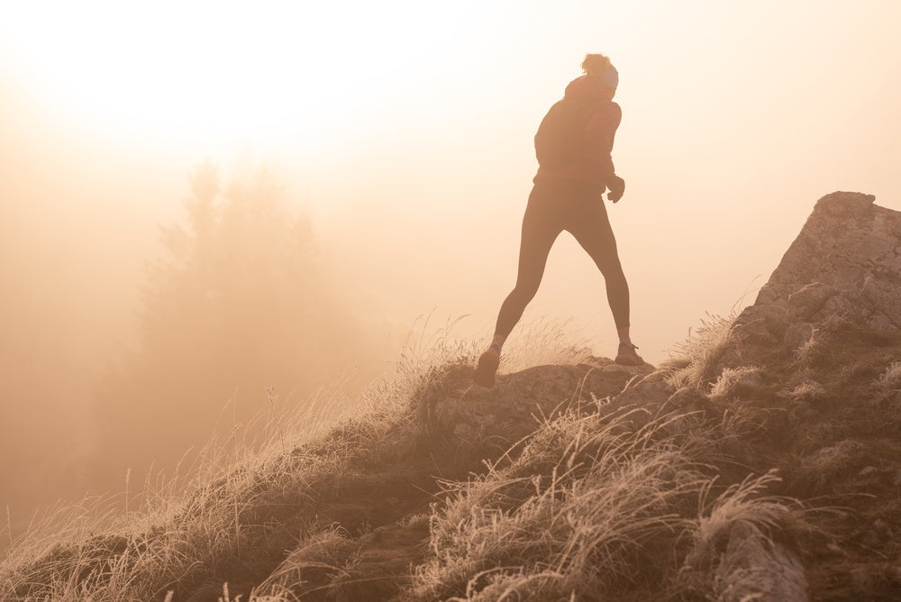
For a trail runner, the mountain is not a backdrop. It is a playground, an adversary, a passion measured in elevation gain, race times, and burned kilojoules. And topography — the science of terrain — is at the heart of this intimate relationship with the land.
Reading the terrain before you run it
Every experienced trail runner knows how to read a topographic map. Tightly packed contour lines announcing a wall, widely spaced ones promising a rolling descent, cols cutting through ridges, hollows offering shelter from the wind... The map is the first step of the race, long before the starting gun.
It is precisely this graphic language — that of contour lines and relief — that Alta illustrations translate into decorative objects. What was a navigation tool becomes a wall piece.
Mont Blanc and the Mont Blanc massif
It is hard to talk about trail running in France without mentioning Chamonix and the UTMB. The Mont Blanc massif is one of the most demanding terrains in Europe: a summit at 4,808 meters, retreating glaciers, ridges sculpted by millions of years of erosion. Seen through its topography, it is breathtakingly beautiful — an explosion of tight curves that tells the intensity of the terrain better than any photograph.
For trail runners who have raced the UTMB or dream of it, a topographic illustration of the Mont Blanc massif is not mere decoration: it is a mental map on the wall.
The Vercors: the plateau that hides its couloirs
The Vercors is a deceptive massif. From the plains of Grenoble or Valence, it appears as a near-vertical plateau — a natural fortress. But once on the plateau, the topography reveals an interior world of combes, ravines, and secondary ridges. The Grand Veymont (2,341 m) offers a panoramic view of the Alps that rewards every meter of elevation gained.
The trails that cross the Vercors are little known to the general public but beloved by locals. Their trace on a topographic map looks like lacework — interlocking curves, accumulating elevation changes.
The Calanques: coastal trail running
Between Marseille and Cassis, the Calanques offer a trail experience unique in France: a rugged karst terrain carved in white limestone that plunges directly into the Mediterranean. Elevation gains are short but brutal, views over the coves are vertiginous, and summer heat turns every outing into an extra challenge.
Seen from above or on a topographic map, the entanglement of calanques is a fascinating geological maze — ridges shooting off in all directions, combes suddenly opening onto the sea, terrain unlike anything else in France.
Corsica: the island for demanding trail runners
The GR20, often called the most difficult long-distance footpath in Europe, crosses Corsica from north to south along ridges at over 2,000 meters. The topography of Corsica is that of a mountainous island: summits that plunge almost directly into the sea, deep valleys, an exceptional density of elevation for an island its size.
For a trail runner, Corsica is a dream. And its topography, traced in ink lines, has a raw beauty: you feel the harshness of the terrain in every tight curve.
Megève and the Aravis: the Savoyard playground
Less publicized than Chamonix, the Aravis massif around Megève is nonetheless a paradise for high-altitude trail running. The Croix de Salles, the Col des Aravis, the Pointe Percée... 360° horizons over the Alps, marked trails crossing summer pastures, and a distinctive topography: jagged limestone ridges contrasting with lush green valleys below.
The topographic illustration: keeping the mountains at home
Between races, between seasons, there is everyday life. And in that everyday life, having the topography of your favorite massif on the wall keeps the connection with what makes you come alive.
An Alta topographic illustration of Mont Blanc in a Lyon office. A relief of the Calanques in a Paris apartment. Corsica traced in ink strokes in a Breton entryway. These objects say the mountains are part of who you are, even hundreds of kilometers away.
Discover our massif illustrations and find the relief that matches your playground.