How is an Alta illustration made? From summit to wall, in ink strokes
You may have seen an Alta illustration hanging at a friend's place, or noticed these distinctive relief tracings on social media. But do you know how they are made? From the digital terrain model to your wall, here is the journey of a topographic illustration.
It all starts with data
The raw material of an Alta illustration is topographic data — altitude measurements taken by satellites or LiDAR surveys, covering every square centimeter of the Earth's surface. This data, organized into georeferenced point grids called DTMs (Digital Terrain Models), is freely accessible.
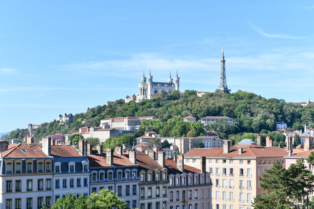
For a mountain like Mont Blanc, each altitude point is accurate to within a few meters. For a city like Lyon, the elevation variations between the Presqu'île and Fourvière are captured with the same precision. It is this wealth of data that allows Alta to create illustrations that are as faithful as they are poetic.
Digital processing: turning numbers into lines
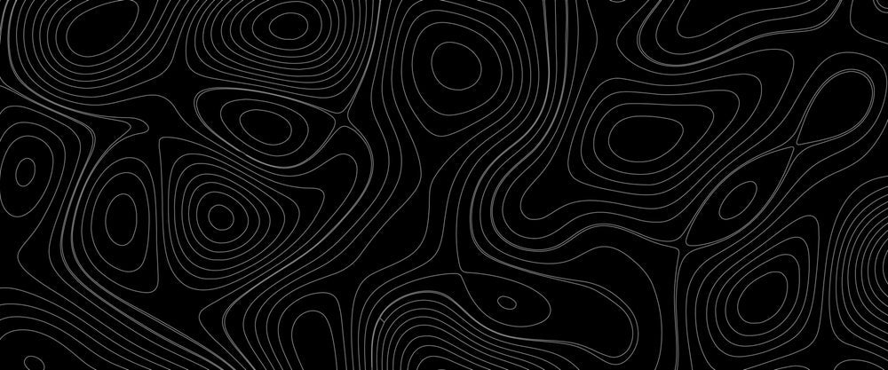
Once the raw data is retrieved, the digital work begins. Using geographic processing tools, the altitude data is transformed into contour lines — those familiar lines you see on topographic maps. But at Alta, the transformation goes further.
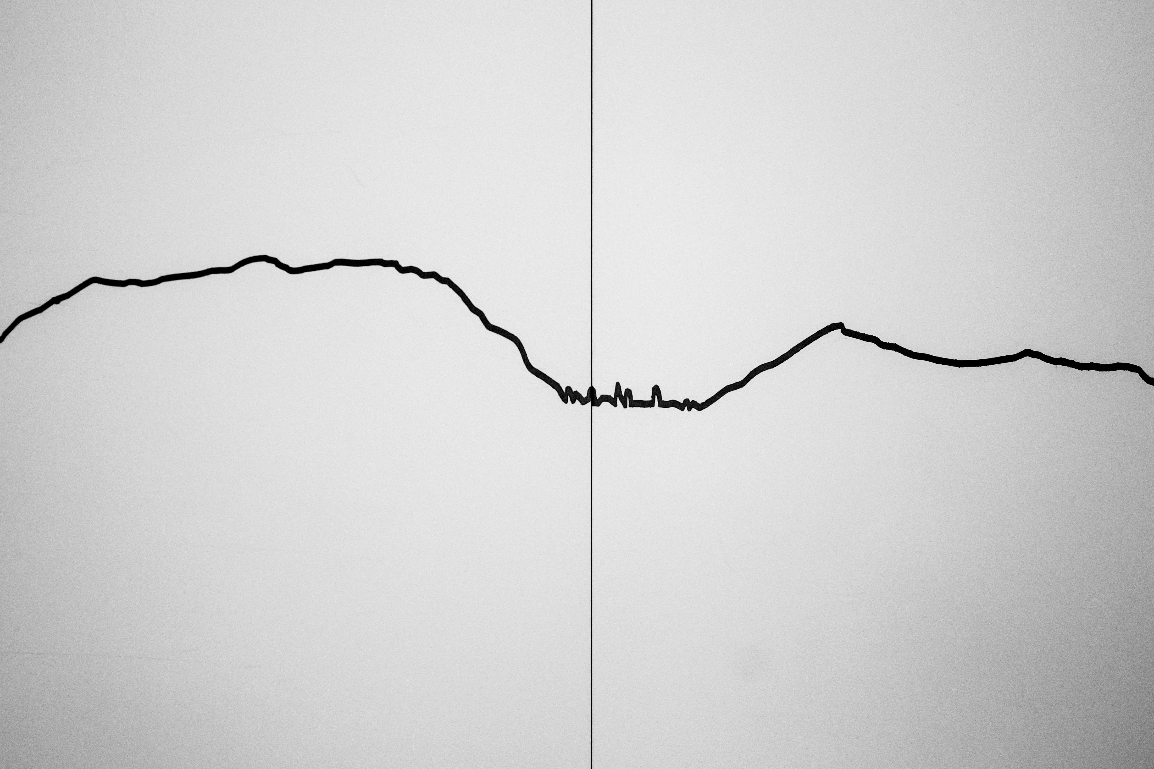
The ridgeline plot technique converts each contour into a profile line, slightly offset upward to create a three-dimensional illusion of relief. These lines overlap, sometimes cross, often avoid each other, creating a purely graphic effect of shadow and depth. The algorithm determines the spacing, density, and relative thickness of each line according to the altitude gradient.
The digital result resembles a musical score: parallel, undulating lines, ready to be played by the next instrument.
The pen plotter: the machine that draws
This is where the silent hero of the Alta studio comes in: the pen plotter. A plotter is a pen printer — literally a robotic machine that guides a real pen across paper with mechanical precision the human eye could never match.
The pen glides, stops, resumes. Lines accumulate, centimeter by centimeter. For a dense A3 illustration, the plotter may trace several kilometers of cumulative strokes over many hours. Each print is unique: the subtle vibrations of the mechanism, the ink that imperceptibly varies from start to end of a line, give each illustration a soul that digital printing cannot replicate.
Alta uses high-quality inks on papers selected for their texture and resistance to time. The result is an illustration that will age well, without yellowing or fading.
From digital to artisanal: why this choice?
These illustrations could be printed on a laser printer in seconds. But that would miss the essence of the Alta project: creating an object that bears witness to the time spent making it, the precision of a machine in service of a poetic idea.
Each Alta illustration sits at the intersection of scientific cartography and minimalist graphic art. It speaks of a place with the honesty of raw data, but with the sensibility of a hand-drawn line.
Discover the available illustrations
Alta offers illustrations for dozens of iconic locations: Alpine massifs, Mediterranean coastlines, French cities. Each illustration is produced in a very limited series. Discover our collection and find the place that speaks to you.